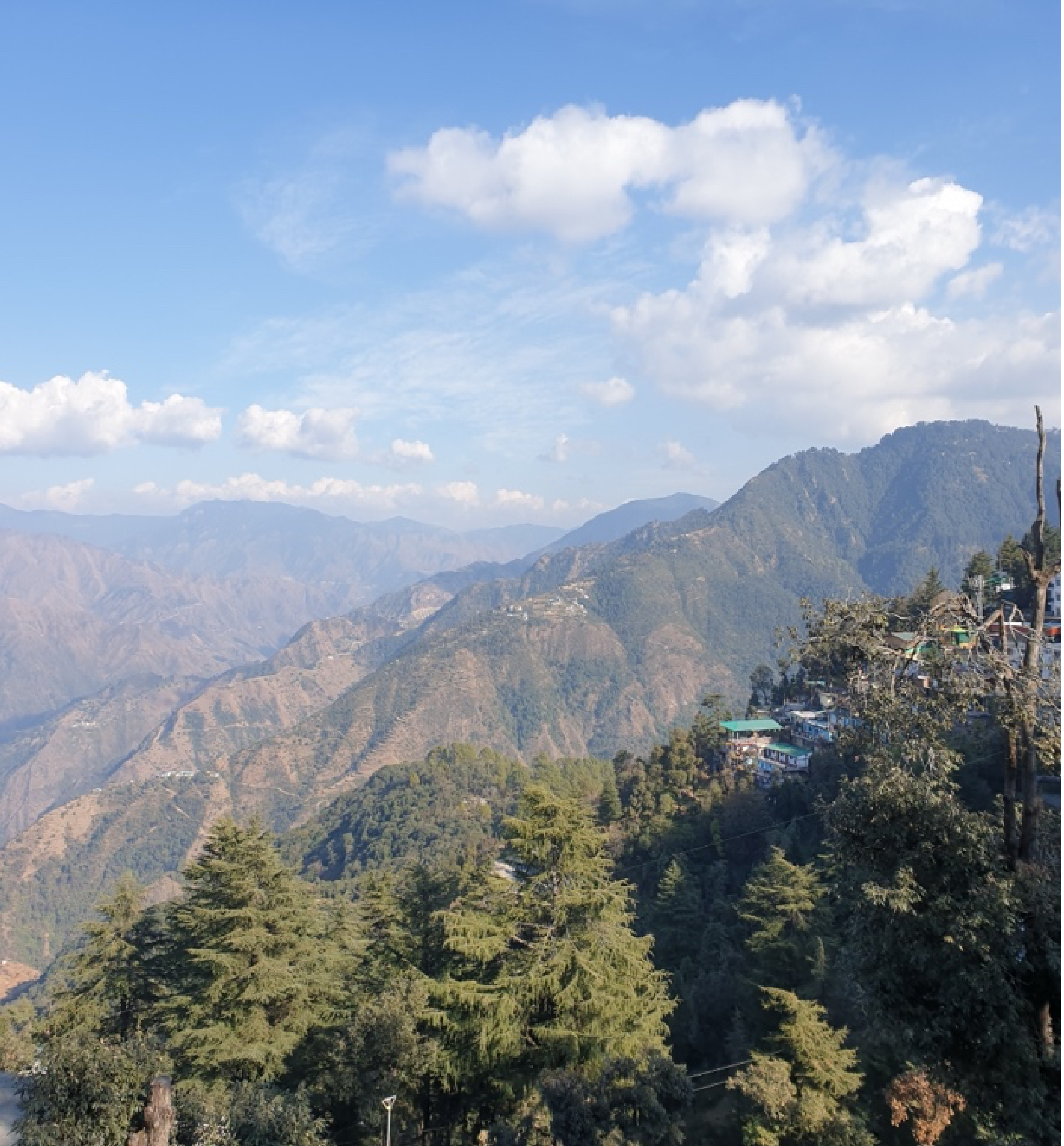
Pragya has conducted studies and surveys of native species of medicinal and aromatic plants (MAPs) and prioritised species for protection and conservation action that are routinely threatened by wild harvesting, logging and human encroachment. Following discussions and noticeable concentration of threatened MAPs like Prunus Africana, Olea Capensis, Elgon Teak, Mondia Whitei, etc. at three sites, these were shortlisted for developing into Community Protected Areas (CPAs). CPAs have been conceptualised as specially designated zones of forest land that have a high density of medicinal plants but are particularly vulnerable to degradation and depletion of the medicinal plants.
 Community Conservation Groups (CCGs) were established by Pragya Kenya with members from the local communities proximal to the concerned CPAs. Each group had a suitable mix of local youth with keenness for conservation and older community members with deep knowledge and experience of native MAP species. A training program was conducted to educate the newly formed Community Conservation Groups for the importance of biodiversity, identification of plant species, methodologies of monitoring, information collection and analysis, and data entry.
 Community Conservation Groups (CCGs) were established by Pragya Kenya with members from the local communities proximal to the concerned CPAs. Each group had a suitable mix of local youth with keenness for conservation and older community members with deep knowledge and experience of native MAP species. A training program was conducted to educate the newly formed Community Conservation Groups for the importance of biodiversity, identification of plant species, methodologies of monitoring, information collection and analysis, and data entry.
The training methodology was designed to include conceptual inputs along with a series of guided activities / group tasks, using reflective methods to enable progressive skill-building and learning. The activities included group discussions and problem analysis, monitoring methodologies, and preparation of action plans. All activities were designed around local conservation issues with the aim of engaging the participants in a more effective way, while helping them to analyse information and the modes to monitor via indicators. Key concepts behind biodiversity monitoring indicators and formulation of monitoring plans were explained. The tools and processes for implementing biodiversity monitoring systems were also detailed, including survey techniques to be used, the involvement of stakeholders, indicators to consider such as species distribution, presence of invasive species and hunting / harvest changes of MAPs, how to set up a BDM unit, data collection and establishing / keeping a Biodiversity Monitoring register.
Along with the classroom sessions, practical demonstrations were also conducted for the trainees where they learnt how to mark a location using GPS gadgets, measure diameter of a tree, set up a 5 by 5 meters quadrat, count species variety within the quadrat and inspect the species for any pests and diseases. They were also taught to identify threat indicators to the site and species and finally populate this information in appropriate forms. The practical demo was in-depth and the trainees showed keen interest making the exercise a success. At the close of the training, the participants had requisite capacity to identify and monitor species, gather information through technical surveys and effectively plan for biodiversity conservation. The participants acknowledged a clear understanding of importance of biodiversity, monitoring methods and survey skills. They also acknowledged the training as ‘unique’ and impactful, and requested additional training programmes to include more participants.
 Baseline Biodiversity Surveys were conducted at Isecheno (CPA 1) and Chilovani (CPA 2). The process began by marking boundaries for the CPA and marking mature trees at the boundaries with red ribbons;
 Baseline Biodiversity Surveys were conducted at Isecheno (CPA 1) and Chilovani (CPA 2). The process began by marking boundaries for the CPA and marking mature trees at the boundaries with red ribbons;
GPS coordinates were also recorded. A Transect Walk was conducted through the CPAs during which the trainers provided information on the geographical context in relation to the surrounding physical features such as plantations, villages, streams etc., the habitat and other key features of the CPA. Based on the unique features observed within the site, four quadrats of 5 × 5m were selected as samples for detailed examination. The trainers described the area and its diversity to the participants while setting each quadrat. The CCGs examined soil type, soil quality, water content in the soil, presence of dead matter in the soil, occurrence of soil erosion, type of erosion and its possible causes; existence of water resources within the site and its location. Other information that was collected included plant coverage and status; populations and morphological characteristics of the plant species and their habitat; health of the plants; existence of any introduced plants; presence of animals / insects; signs of natural disasters and human disturbances. GPS coordinates were recorded for each quadrat.
With the help of the herbalist in each team, the CCGs identified medicinal plant species in each quadrat, counted the number of young and mature plants, observed their health and density, noted the threats to the species, filled the requisite information in the datasheets and photographed the species. The strong involvement of local communities in action-planning and developing specific plans were indicative of the community’s receptivity to the need for conservation and willingness to learn and participate. As follow up actions, three advocacy meetings were undertaken in the areas with attendance from members from the local communities and Forest department. The common concerns about illegal logging and charcoal burning, which contribute to the escalated rate of degradation of Kakamega forest, were discussed.


No comments:
Post a Comment